Drones for Photogrammetry
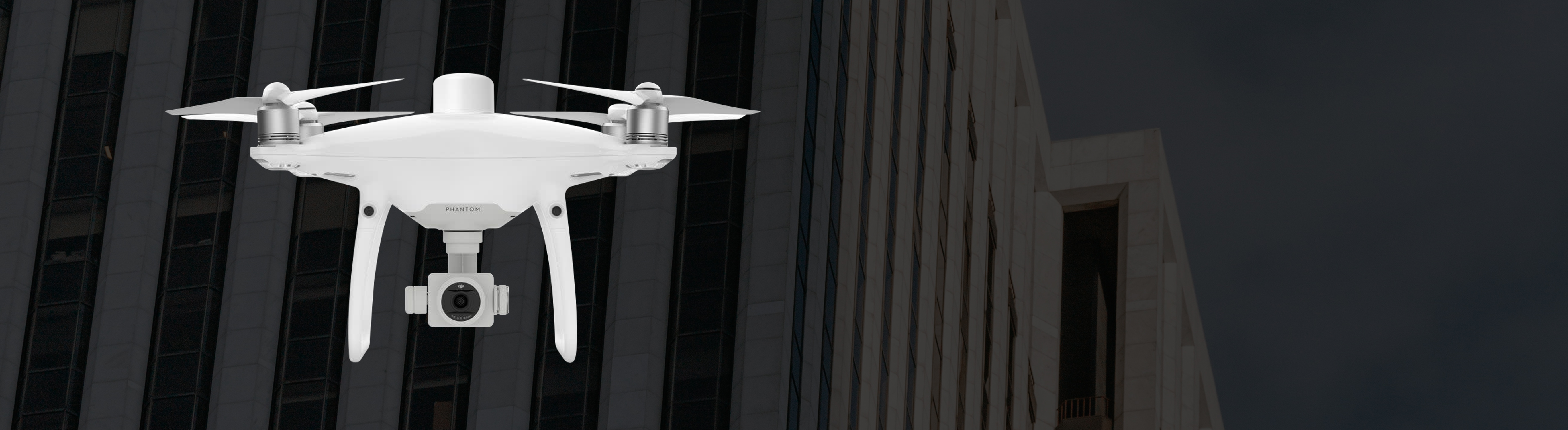
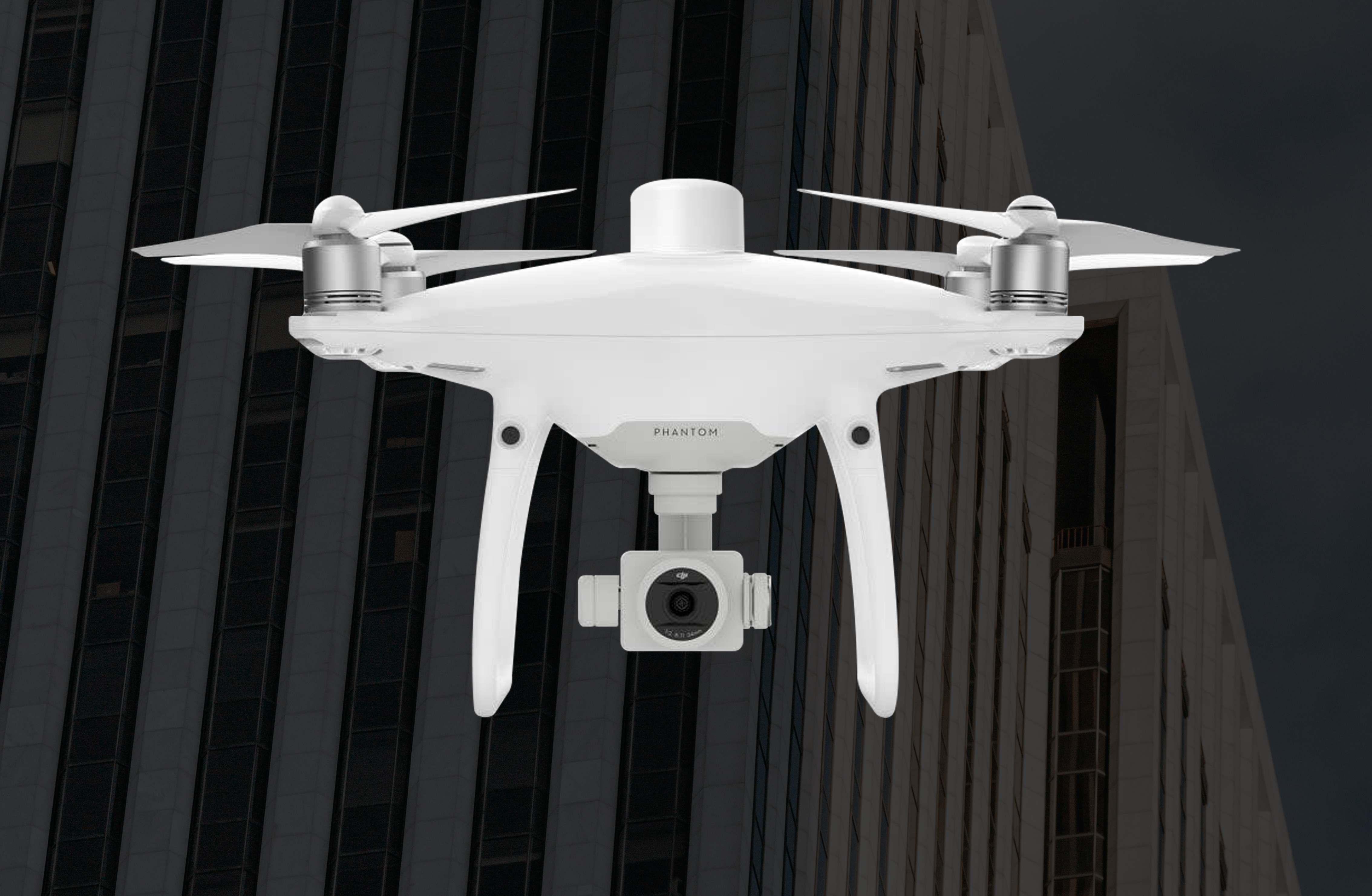
DJI Phantom 4 RTK
Upgrade your next mapping mission with the Phantom 4 RTK - The most compact and accurate low altitude mapping solution.
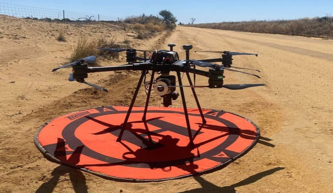
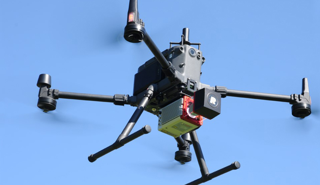
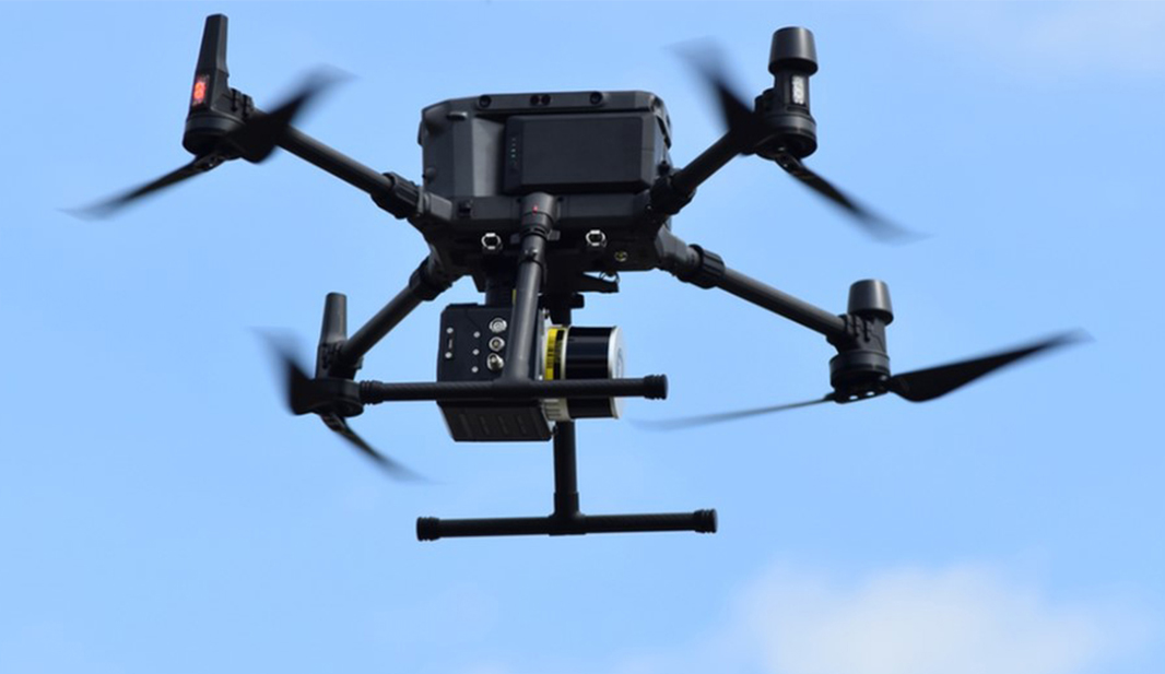
Learn MoreDrones can be a powerful addition to your surveying toolkit. Their ability to capture data from above can lead to quality data generated quickly, profitably, and safely. Safety can prove especially helpful when dealing with hazardous and challenging terrain for human operators. There are many drone systems to choose from – The right one for you depends on various factors such as priorities, cost/budget, and accuracy requirements, to name a few. eGPS Solutions offers a variety of drone solutions, so discuss your needs with us, and let us help integrate drones into your next surveying project!
Upgrade your next mapping mission with the Phantom 4 RTK - The most compact and accurate low altitude mapping solution.
Learn More