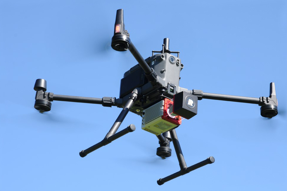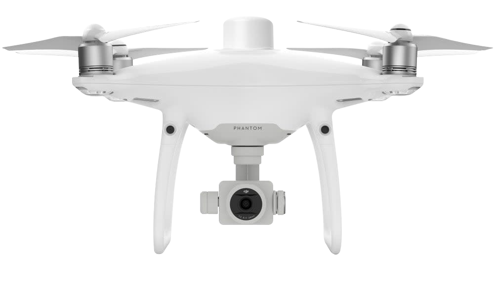
DJI Phantom 4 RTK
Key Features
- RTK Module
- 1" CMOS Sensor
- GS RTK App
- TimeSync
- OcuSync
DJI Phantom 4 RTK
Key Features
- RTK Module
- 1" CMOS Sensor
- GS RTK App
- TimeSync
- OcuSync
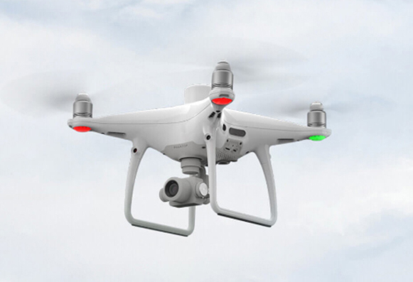
A new RTK module is integrated directly into the Phantom 4 RTK, providing real-time, centimeter-level positioning data for improved absolute accuracy on image metadata. Fit the Phantom 4 RTK to any workflow, with the ability to connect this positioning system to the D-RTK 2 High Precision GNSS Mobile Station, or NTRIP (Network Transport of RTCM via Internet Protocol) using a 4G dongle or WiFi hotspot.
To take full advantage of the Phantom 4 RTK’s positioning modules, the new TimeSync system was created to continually align the flight controller, camera and RTK module. Additionally, TimeSync ensures each photo uses the most accurate metadata and fixes the positioning data to optical center of the lens – optimizing the results from photogrammetric methods and letting the image achieve centimeter-level positioning data.
Capture the best image data with a 1-inch, 20-megapixel CMOS sensor. Mechanical shutter makes mapping missions or regular data capture seamless as the Phantom 4 RTK can move while taking pictures without the risk of rolling shutter blur. Due to the high resolution, the Phantom 4 RTK can achieve a ground sample distance (GSD) of 2.74 cm at 100 meters flight altitude. To ensure each Phantom 4 RTK offers unparalleled accuracy, every single camera lens goes through a rigorous calibration process, with parameters saved into each image’s metadata, letting post-processing software adjust uniquely for every user.
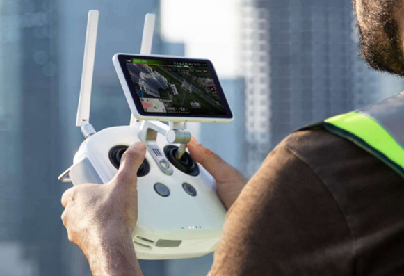
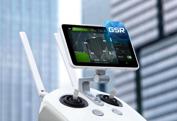
A new DJI GS RTK app and Remote Controller with built-in screen, giving users a streamlined control scheme for surveying missions and other data acquisition scenarios.The GS RTK app allows pilots to intelligently control their Phantom 4 RTK, with multiple planning modes, including Photogrammetry (2D and 3D), Waypoint Flight, Terrain Awareness, Block Segmentation*, and more. Users can also import KML/KMZ files to optimize the workflow for their missions. With the built-in screen, pilots can clearly view and plan their missions on an ultra-bright, 5.5-inch HD display.
*In some countries, local regulations do not permit Multi-Aircraft Control when executing Block Segmentation missions or require special approval. Please consult and follow the applicable rules wherever you operate.
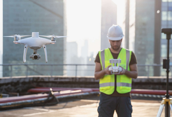
Enjoy stable and reliable HD image and video transmission at distances of up to 7 km, great for mapping larger sites*.
*Unobstructed, free of interference, when FCC compliant. Maximum flight range specification is a proxy for radio link strength and resilience. Always fly your drone within visual line of sight unless otherwise permitted.